• PART 1: DWG to KML, DEM Elevation Extraction & CSV Export (Current)
• PART 2: Alignments, Profiles & Custom Data Bands
• PART 3: Corridor Modeling & Assembly Design
• PART 4: Template Setup & A3 Sheet Layouts
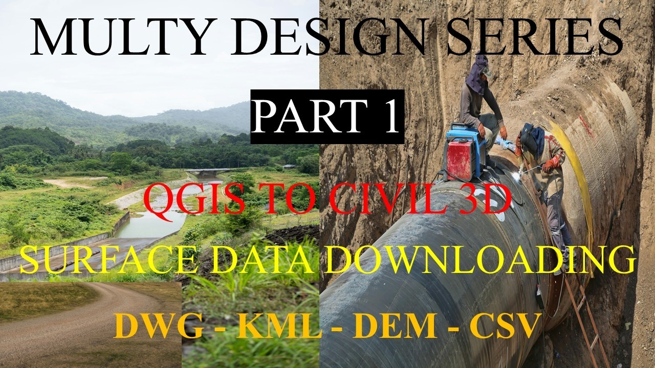
Welcome to Part 1 of our multi-design series. In this comprehensive step-by-step tutorial, we establish the core data pipeline for irrigation engineering: exporting CAD alignments to spatial KML files, loading them into QGIS, downloading high-resolution Digital Elevation Model (DEM) data from OpenTopography, processing raster surfaces, and exporting precise CSV point datasets ready for Autodesk Civil 3D.
1. Exporting DWG Alignments & Importing into QGIS
Bridging your CAD workspace with GIS begins by taking your design alignments or project boundaries into a spatial format that QGIS can interpret.
- Verify CAD Coordinate Systems: Ensure your AutoCAD drawing is assigned the proper projected coordinate system (such as UTM WGS 84) to prevent positional shifts during export.
- Execute KML Export: Use the
MAPEXPORTcommand or specialized geospatial conversion tools in your CAD software to save your main canal alignment or study area boundary as a.kmlor.kmzfile. - Import into QGIS Workspace: Open QGIS, set your project's coordinate reference system (CRS) to match your region, and simply drag and drop your exported KML file into the layers panel (or navigate to Layer > Add Layer > Add Vector Layer) to visualize your project corridor over base maps.
2. Sourcing & Downloading DEM Data via OpenTopography
Accurate topographical modeling requires high-fidelity elevation datasets that cover the exact geographic bounds of your project layout.
- Identify Bounding Coordinates: Use your imported KML layer bounds in QGIS or OpenTopography's interactive map locator to find the exact minimum and maximum latitude/longitude coordinates of your study area.
- Access OpenTopography: Navigate to the OpenTopography data portal and select a high-resolution global or regional raster dataset, such as SRTM GL1 (30m) or ALOS World 3D (5m/30m), depending on your design accuracy requirements.
- Download GeoTIFF Raster: Submit your selection area boundaries, choose the GeoTIFF output format with embedded spatial referencing headers, and download the raw elevation raster file to your local machine.
3. Processing Elevation Rasters & Extracting Points in QGIS
Once your DEM raster is secured, QGIS is used to re-project, clip, and sample the elevation grid into structured vector points.
- Re-project Raster to UTM: Because geographic datasets use degrees, right-click your loaded DEM layer in QGIS, go to Export > Save As, and re-project the raster into your local metric projected coordinate system (e.g., UTM Zone).
- Clip to Project Corridor: Use the Clip Raster by Mask Layer tool (under Raster Extraction) with your imported KML boundary vector to crop the DEM, removing unnecessary background data and maximizing processing speed.
- Generate Elevation Points: Use raster sampling tools (such as Raster Surface Points or grid creation utilities) to generate a dense array of points along your alignment path, extracting exact Northing, Easting, and Z-elevation values with high decimal precision.
4. Formatting and Exporting CSV Data for Civil 3D
The final step of the preliminary data pipeline is structuring your extracted spatial nodes into a comma-separated values file for seamless CAD integration.
- Inspect Attribute Table: Open the vector point layer's attribute table in QGIS to verify that fields for Point ID, Northing (Y), Easting (X), and Elevation (Z) are correctly populated without missing parameters.
- Export as CSV: Right-click your point layer, select Export > Save Features As, choose Comma Separated Value (CSV) as the format, and ensure geometry options are set to export coordinates explicitly.
- Civil 3D Surface Import: Launch Autodesk Civil 3D, navigate to the Prospector tab, right-click Points > Create, and import your formatted CSV file to build an accurate Digital Terrain Model (DTM) TIN surface for your canal network.
Watch the full step-by-step visual demonstration here: Civil 3D Irrigation Design Masterclass | Part 1: DWG to KML, DEM Elevation Extraction & CSV Export.


0 Comments
Please read like, share and comment